Picture yourself launching a paddleboard before work, hiking a Gorge trail on your lunch break, and ending the day with river views from your deck. If that sounds like your kind of everyday, Washougal deserves a close look. You get authentic Columbia River access, small‑city convenience, and a range of home types that support a true Gorge lifestyle. In this guide, you’ll learn how Washougal’s neighborhoods differ, what rules affect river and hillside properties, commute and price context, and a practical checklist to shop with confidence. Let’s dive in.
Why Washougal fits the Gorge lifestyle
Washougal is a compact, river‑oriented city with a strong base of owner‑occupied homes and household incomes that support move‑up and relocation buyers. The built environment centers on the Washougal and Columbia Rivers, with a walkable core and steeper hills to the north and northeast. That setting creates real variety for shoppers who want river access, views, or both.
Parks and trails are central to daily life here. The Port’s waterfront network includes fishing docks, non‑motorized launches, and pathways that make it easy to enjoy the shoreline without a long drive. Explore the area’s public access points through the Port’s overview of waterfront parks and trails.
If you’re comparing communities, Washougal often offers a more accessible path to river access and Gorge views than nearby cities known for higher price points. Waterfront or river‑view homes still trade at a premium, but the balance of lifestyle per dollar is a key reason buyers look here first.
Home types you’ll see in Washougal
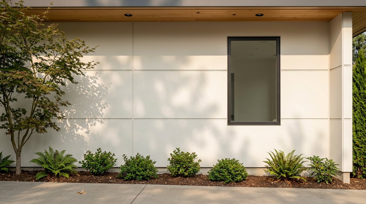
In‑town and downtown living
You’ll find older bungalows, small ranches, and select infill near the town center, typically on smaller lots with easier access to shops and riverfront paths. Many parcels in the core have municipal water and sewer, which can simplify ownership and future improvements. You trade long‑range views for walkability and direct park and trail access.
If you want to understand how land use shapes what gets built and where, review the city’s zoning information and maps. These resources clarify where town‑center housing and services are concentrated.
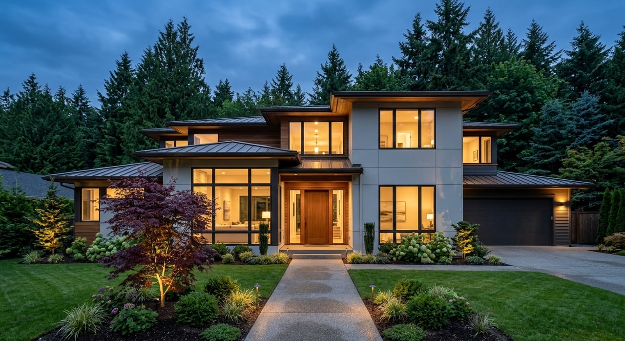
Hillside and ridge homes
North and northeast of town, homes position for big Gorge or Columbia River views. These lots can sit on steeper slopes and may require more site work or specialty engineering. Washougal’s critical‑areas rules treat slopes over 15 percent as potentially geologically hazardous, which can trigger buffers, a geotechnical report, and erosion control measures during permitting. You gain elevation and privacy, with the tradeoff of more complex construction and maintenance. See the city’s Critical Areas code for details.
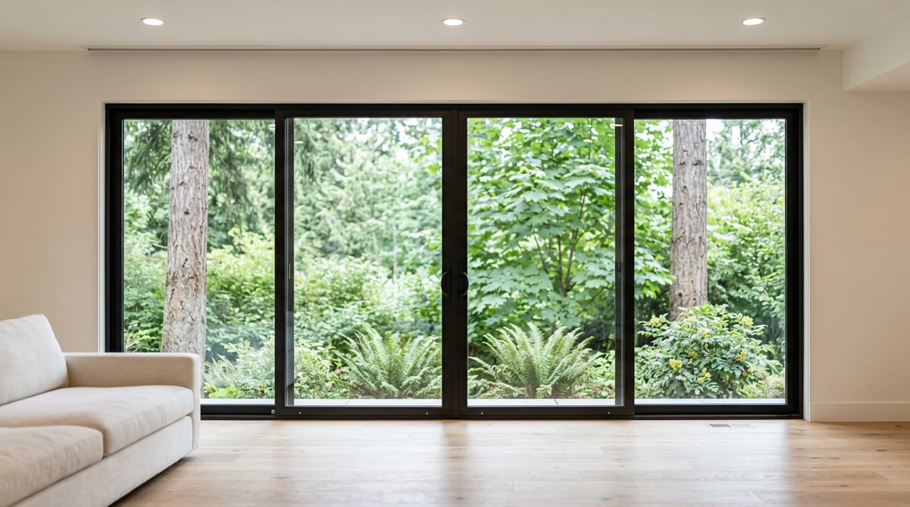
River‑adjacent and levee‑backed parcels
Along the Washougal and Columbia Riverfront, you’ll see a mix of older cottages, park‑front homes, and newer infill near the Port. These locations offer premium access and views, but they come with shoreline rules and potential flood‑risk considerations. Expect to review flood maps, shoreline setbacks, and possibly obtain an Elevation Certificate during due diligence. Start with the county’s Flood Insurance Rate Maps resource and the FEMA Map Service Center’s address lookup tool.
Rules and risks to check early
Flood maps and insurance basics
Clark County and FEMA maintain flood maps that can affect insurance requirements and what you can build. If a property is in a Special Flood Hazard Area, a lender may require flood insurance. Some river‑adjacent parcels also sit behind levees, which can influence premiums and coverage options. Begin with Clark County’s overview of Flood Insurance Rate Maps and confirm the exact FIRM panel for any address using FEMA’s Map Service Center.
Levees and recent flood‑risk projects
The Port of Camas‑Washougal owns and maintains the local levee system that protects parts of the waterfront. Major restoration and setback‑levee work, including the Steigerwald floodplain reconnection, changed protection geometry and maintenance responsibilities while improving habitat. For any levee‑influenced parcel, ask for the levee’s O&M plan and public documents describing modifications that affect your lot. You can read more about those changes in the Steigerwald project’s environmental assessment.
Shoreline Master Program and setbacks
Shoreline jurisdiction usually extends about 200 feet landward of a water body and adds rules on setbacks, vegetation, and water‑oriented structures. Washougal’s Shoreline Master Program update clarifies residential exemptions and setbacks for new development. Before you plan an addition, dock, or bank work, review the city’s Shoreline Master Program update page and confirm how the rules apply to your address.
Steep slopes, vegetation, and geotechnical reports
On hillside lots, critical‑areas rules may require a geotechnical report and buffers to address potential hazards. The code also discourages removal of native vegetation on steep slopes. If you want to thin trees to open a view, you’ll need to understand what is allowed before you buy. The Critical Areas code outlines the studies and standards typically required.
Utilities: sewer, water, septic, and wells
In‑town parcels often connect to municipal water and sanitary sewer. Some hillside or outlying properties may rely on wells and septic systems. Connection availability and capacity can influence both cost of ownership and future expansion. Confirm existing hookups and fees with Public Works and review the city’s Wastewater and sewer planning before assuming an easy tie‑in.
Commute, access, and price context
Washougal gives you daily access to the river and the Gorge. Public amenities like Steamboat Landing, Captain William Clark Park, and the Port’s waterfront trail make launching a kayak or taking a sunset walk an easy routine. Trailheads and refuge access on the Washington side of the Gorge are a short drive, which is a draw if you prioritize hiking, fishing, wind, or water sports.
Commutes are manageable for many buyers, especially outside peak hours. Camas is only a few miles away, often a 5 to 10 minute drive. Downtown Vancouver is commonly 15 to 25 minutes depending on route and traffic. Central Portland is roughly 22 to 25 miles, often 25 to 35 minutes in off‑peak conditions, though bridge traffic can add time; you can confirm the distance using this Washougal to Portland reference. Test your routes at your typical travel time to see realistic door‑to‑door timing.
On pricing, third‑party platforms often show Washougal’s median values in the low‑to‑mid six‑hundreds, while Camas typically trends higher. Waterfront and view properties sell at a premium, with insurability, flood classification, utility connections, and the privacy of river access all influencing value. For any listing or marketing claim, your most accurate source will be the latest local MLS data and recent comparable sales.
Smart‑shopping checklist for Washougal buyers
Use this list to focus your due diligence. Ask the listing agent for documents, and verify with the city, county, and your insurer.
- Flood zone and levee status. Confirm the address on FEMA’s Map Service Center and review Clark County’s FIRM guidance. If a levee is involved, request O&M and certification records from the Port or seller.
- Elevation Certificate (if in or near an SFHA). An Elevation Certificate or survey helps price insurance and document compliance with base flood elevation. Plan for this cost if one does not exist.
- Shoreline rules and setbacks. Review the city’s Shoreline Master Program update. Ask whether the home is considered a pre‑existing nonconforming structure and how that affects repairs or expansions.
- Utilities and capacity. Verify whether the property is on city water and sewer, and confirm fees and capacity using the city’s Wastewater page. If septic or well, request recent inspection and service records.
- Slopes and geotechnical requirements. If the lot has slopes over 15 percent or mapped hazards, expect to need a geotechnical report and to follow standards in the Critical Areas code.
- Tree and vegetation rules. Understand what vegetation must be retained and how erosion control applies on hillside lots. This can influence view clearing and site work.
- Easements and public access. Ask for recorded easements and check for trail or utility corridors that could cross the lot, especially near the waterfront.
- Insurance availability. Speak with both a homeowners insurer and a flood‑insurance agent early. Confirm coverage types, exclusions, and estimated premiums based on the home’s foundation and elevation.
- Access and seasonality. Ask whether driveways or local roads close during high‑water events and whether hillside access grades create winter driving or emergency‑access issues.
- Approvals for docks and shoreline work. New docks, bank stabilization, or similar projects typically require local, state, and sometimes federal coordination. Confirm the approval path before you buy if private river access improvements are essential.
- Resale positioning. Compare the property to recent closed sales in the same micro‑market. Waterfront and view homes have a narrower but often motivated buyer pool, so pricing depends on access, risk profile, and utility setup.
- School assignment and services. Boundaries can cross municipal lines. Verify the specific address with official district maps and state reporting resources if school assignment is part of your decision.
Work with a local team that knows the Gorge
Buying a Gorge‑lifestyle home involves more than a good view. You need a clear plan for flood maps, shoreline rules, utilities, and long‑term maintenance, and you want someone who can spot red flags before they become surprises. Our team pairs neighborhood‑level expertise with hands‑on guidance so you can buy with clarity and confidence.
If you are planning a move to Washougal or weighing it against nearby cities, we can help you compare micro‑markets, evaluate due‑diligence items, and line up the right inspections. Connect with Parker Home Group to talk through your wish list and next steps.
FAQs
What does “Gorge‑lifestyle” mean for Washougal homebuyers?
- It typically means you value daily access to the river, parks, trails, and scenic viewpoints, and you are considering in‑town homes, hillside view properties, or river‑adjacent lots that prioritize those amenities.
Are Washougal riverfront homes in flood zones?
- Some are, and some sit behind levees; you should verify the address on FEMA’s Map Service Center and review Clark County’s FIRM guidance to understand insurance and building implications.
What permits apply if I want a dock or shoreline work?
- Shoreline projects often require coordination with the City of Washougal, Washington Department of Ecology, and sometimes federal review, so start with the city’s Shoreline Master Program update to map your path.
How do hillside lots change the buying process?
- Steeper slopes may trigger geotechnical studies, buffers, and limits on vegetation removal under the city’s Critical Areas code, which can affect both costs and timelines.
How long is the commute from Washougal to Portland or Vancouver?
- Off‑peak, central Portland is often 25 to 35 minutes and downtown Vancouver is often 15 to 25 minutes, but bridge and peak‑hour traffic can add time; you can check the distance using this Washougal to Portland reference.
Is flood insurance required in Washougal?
- It depends on whether the home is in a Special Flood Hazard Area and on lender requirements; confirm the property’s mapped status and consider obtaining an Elevation Certificate to understand potential premiums.